
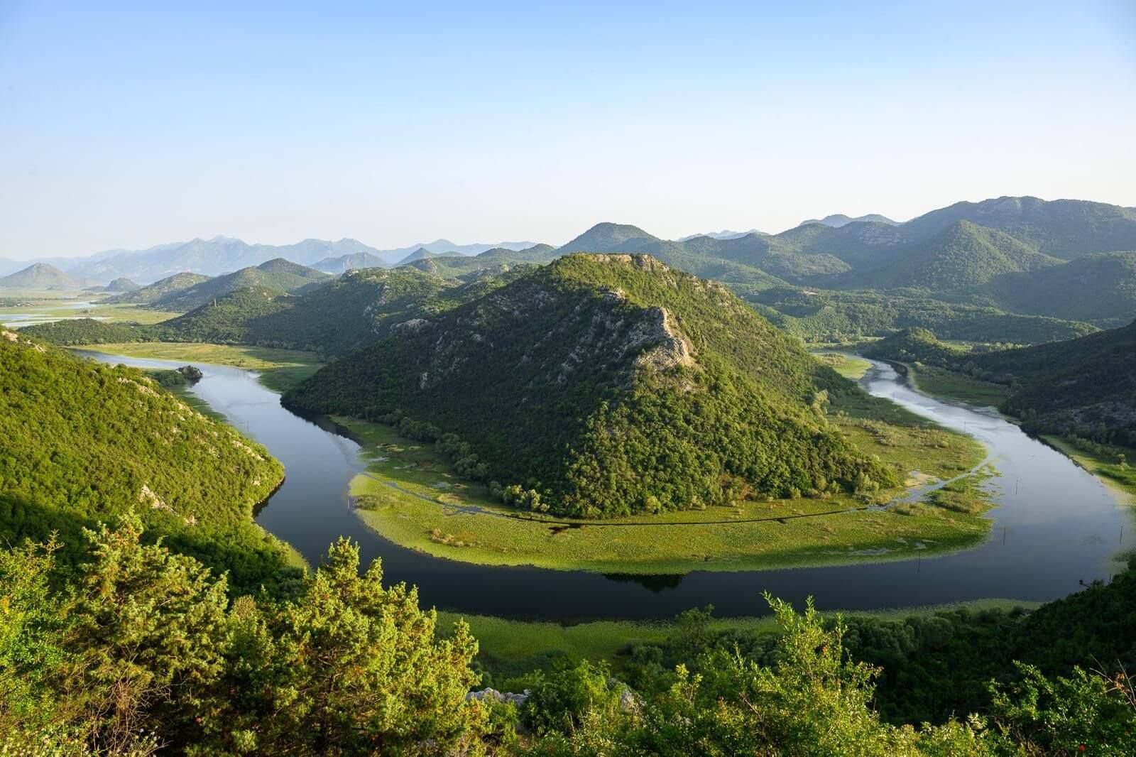
Getting there
The village is a short drive from Cetinje and Podgorica, but there is no direct bus. Here is how to get here and where to leave the car.
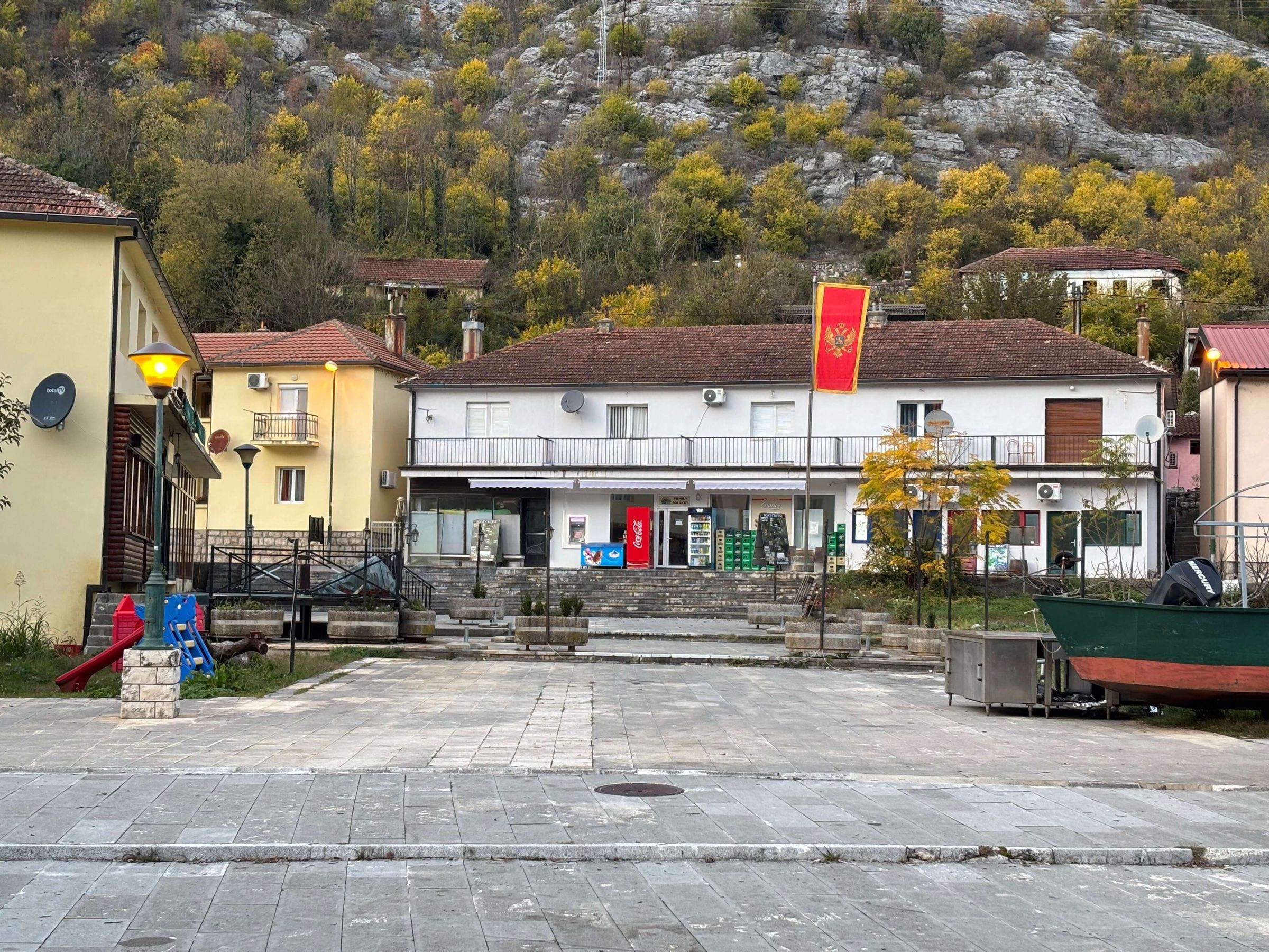
Plan your visit
Rijeka Crnojevića is a small village with few services. Bring cash, save the emergency numbers and plan a little ahead.
In 1899 Rijeka Crnojevića had about 500 people, a court, a telegraph, a post office and an arms workshop. Today it is a quiet village of 84 people in 38 households (2023 census). Services are few, so come prepared.
| Number | Service |
|---|---|
| 112 | General emergency |
| 122 | Police |
| 123 | Fire brigade |
| 124 | Ambulance |
| 19807 | Roadside help |
Save these numbers in your phone before you go: the signal is patchy in the canyon.
The nearest clinic is Dom zdravlja Cetinje, the health centre in Cetinje, 16–17 km away. Bring any medicines you need. In 2014 there was no pharmacy in the village, and we could not confirm whether there is one today.
We could not confirm an ATM in the village. Bring enough cash in euros (EUR).
Mobile signal is patchy in the canyon. Download a map and save your route before you set off. If you go walking alone, tell someone where you are going. The map shows the main sights.
In 2014 there was no pharmacy, post office or shop in the village. We could not confirm what is open today, so bring water, snacks and anything else you need. For places to eat and stay, see our neutral directory.
The whole village is inside Skadar Lake National Park. To fly a drone you need approval from three bodies, and you must apply 20 days ahead. Fines run from €500 to €2,000. Details are on our national park page.
Rijeka Crnojevića is home to 84 people, and 16 of them are aged 70 or over. People live here all year, not only in summer. Please keep the noise down, use the parking at the village entrance and ask before you photograph people or their homes.
Treat Danilo’s Bridge with care. It is a cultural monument, and poor cement repairs have already damaged it.
For roads, buses and parking, see getting there.
We could not confirm one. Bring enough cash in euros.
Call 112, the general emergency number. You can also call 122 for the police, 123 for the fire brigade and 124 for an ambulance.
The nearest clinic is Dom zdravlja Cetinje, the health centre in Cetinje.
The signal is patchy in the canyon. Download a map and save important numbers before you go.
In 2014 there was no pharmacy, post office or shop in the village. We could not confirm what is there today, so bring what you need.
Not without approval. The village is inside the national park, where a drone needs approval from three bodies. See our national park page for details.
The facts on this page were checked against these sources.
Last verified: 3 October 2026. Spotted a mistake? Tell us
The village is a short drive from Cetinje and Podgorica, but there is no direct bus. Here is how to get here and where to leave the car.
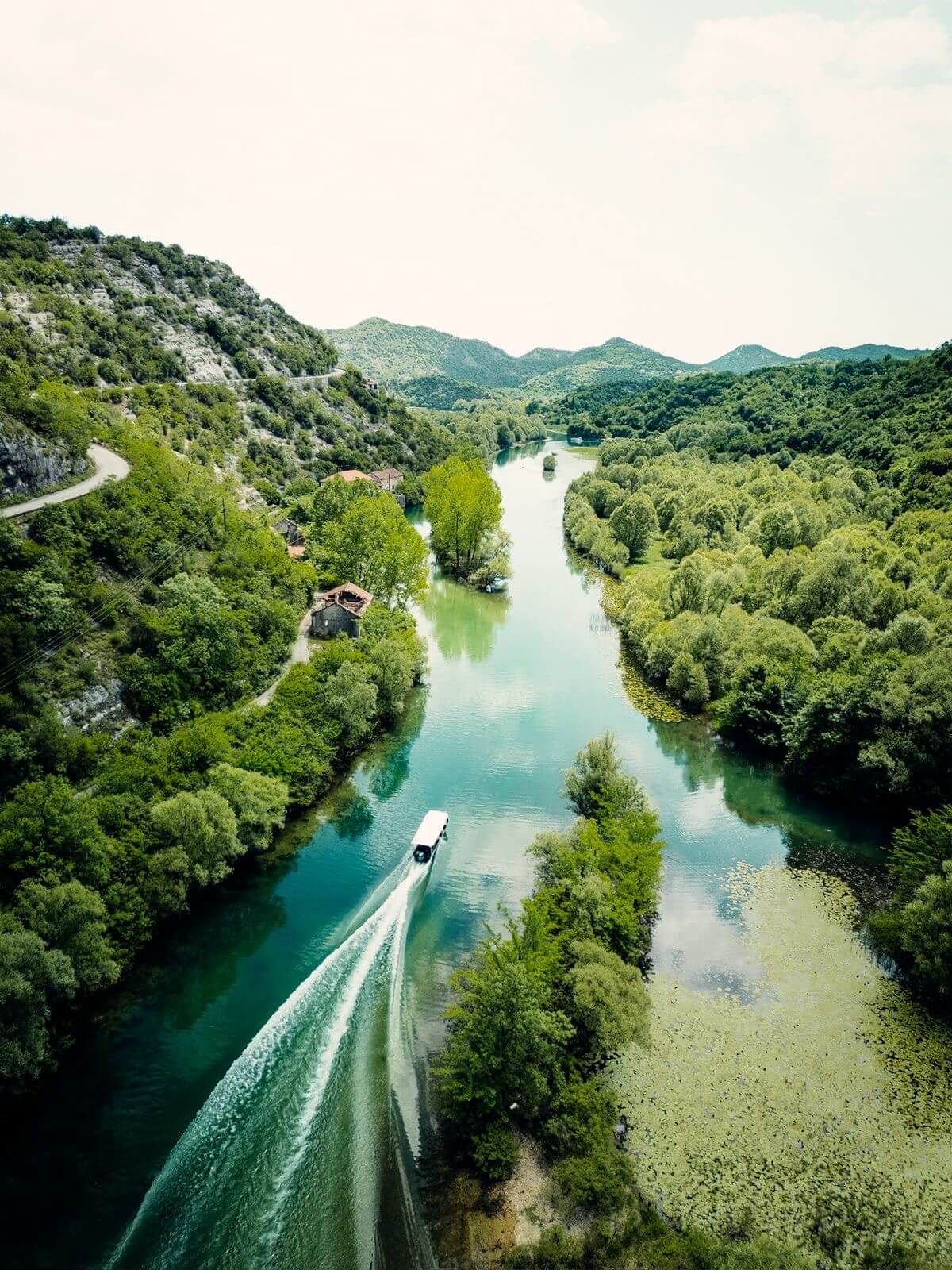
The village sits inside a protected landscape: a national park, a Ramsar wetland and, since 2026, a UNESCO biosphere reserve. Here is what that means for your visit.
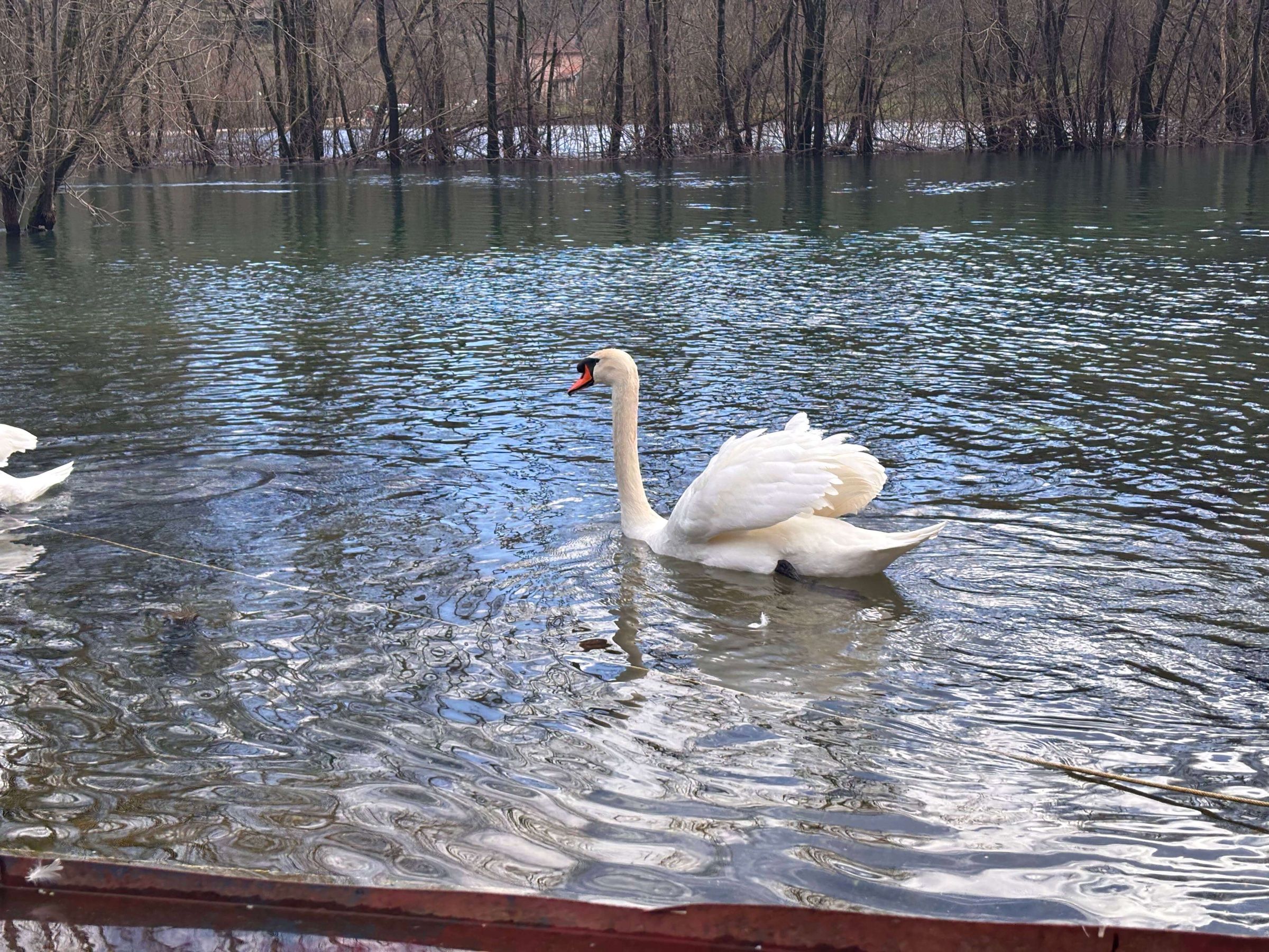
We suggest spring and autumn. Summer is busy and hot, and in winter the water can rise fast.
The main sights of the village and the valley on one map.
We use Google Tag Manager for anonymous visit statistics, only with your consent.